
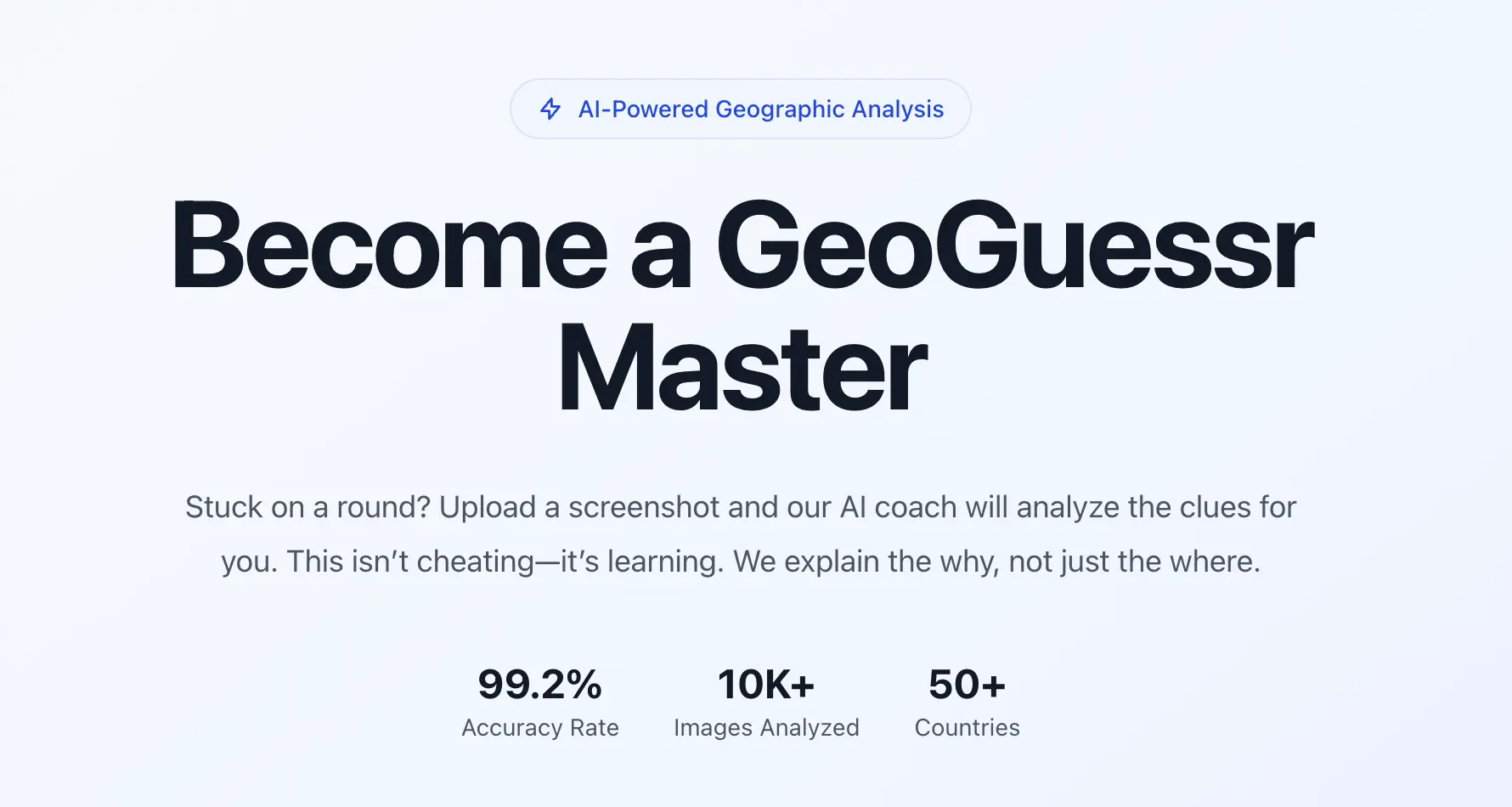
GeoSolver Reverse Image Location
An AI-powered image geolocation platform that analyzes visual landscape clues to identify where photos and street view scenes were taken.
About GeoSolver Reverse Image Location
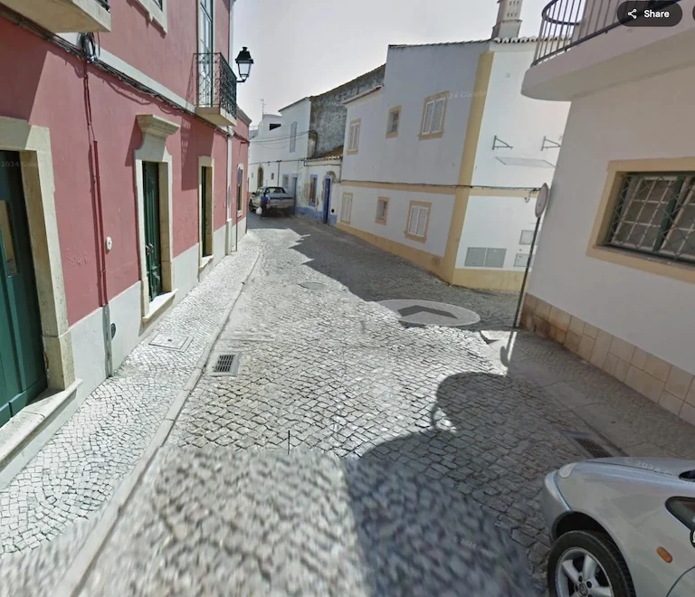
GeoSolver is an AI image geolocation platform designed to identify where photos and street view scenes were taken. Rather than relying solely on search index matches or GPS tags, the system analyzes visual landscape clues directly in the image. It inspects road line markings, traffic bollards, utility pole structures, vegetation, and architecture to pinpoint the most probable country, region, and map coordinates.
The tool serves as both a photo location finder and an interactive coach for geography players and open-source intelligence researchers. Users can upload any street scene or travel snapshot to receive a structured breakdown explaining the deduction. The engine highlights decisive geographic indicators, teaching users how specific clues confirm or eliminate possible locations worldwide.
For automated research pipelines, GeoSolver supports the Model Context Protocol (MCP). This allows users to link the geolocation engine directly to autonomous agents such as Claude Code and Codex. Through secure personal access tokens, external agents can submit photos for location deductions and inspect historical analysis records seamlessly.
GeoSolver also includes local browser utilities for deeper digital media inspection, including an EXIF viewer, a metadata privacy scrubber, and an Error Level Analysis tool for checking JPEG compression. The platform is accessible via web browsers and an official iOS mobile app.
Features
- Upload a photograph for AI-assisted geographic analysis
- Read explanations of visible signs, roads, vegetation and architecture
- Evaluate suggested locations as hypotheses to independently verify
- Connects the location solver to external AI assistants such as Codex and Claude Code using secure personal access tokens
- On-the-go photo uploads and location lookups through an official native iOS application alongside the standard web interface
Use cases
- Practice geographic clue recognition outside competitive games
- Explore possible locations of travel photographs
- Generate image-location hypotheses for OSINT research
- Researchers and investigators verify the geographic origin of uncredited conflict imagery, travel snapshots, and social media videos
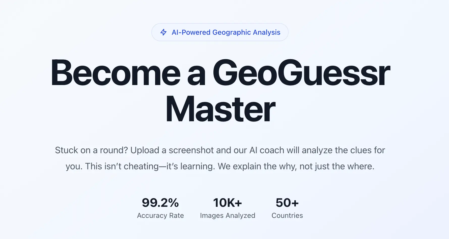
Screenshots

Frequently asked questions
Is it free?
One AI analysis is free in total. Optional paid plans are available for further use.
Are suggested locations guaranteed?
No. AI results may be uncertain or wrong. Cross-check them with maps, satellite imagery and other independent evidence.
What image formats work best with GeoSolver?
The AI location engine accepts standard digital photos, screenshots, and street-view captures in JPG, PNG, and WebP formats. For the built-in Error Level Analysis utility, original JPEG files provide the most reliable compression readings.
Are uploaded images permanently stored on the platform?
No, uploaded photos are processed temporarily for geographic analysis and are not retained indefinitely on the servers.
Can GeoSolver run directly inside coding assistants?
Yes, by generating a private token on the MCP settings page, users can configure GeoSolver as an active MCP server in compatible environments like Claude Code or Codex.
What we verified
- Public API
- Yes (Provides a Model Context Protocol server interface enabling AI agents like Claude Code and Codex to run location analysis via private tokens)
- Self-hostable
- No (Cloud-hosted web platform with an accompanying iOS mobile app)
- Free tier
- Yes (Free preview of key location clues available without an account or credit card; client-side EXIF tools are free)
- Pricing model
- Subscription (Monthly and annual billing options)
- Price
- $19.99 per month or $69.99 per year (equivalent to $5.83 per month billed annually)
- Data region
- Not specified (Cloud infrastructure managed through Supabase; uploaded images are processed temporarily without indefinite retention)
- Integrations
- Model Context Protocol (MCP), Apple iOS App Store, Google Maps, Supabase, Creem, PayPal
Could not be verified
- Specific cloud server data center locations or geographic hosting regions (only Supabase infrastructure is mentioned without regional details)
- Underlying proprietary vision models or foundational LLM providers powering the clue analysis engine
0 comments
Sign in to leave a comment.
No comments yet. Say something useful and be the first.